The government is preparing to introduce operational guidelines for the Digital India Land Records Modernisation Programme (DILRMP) 3.0, a five-year initiative covering 2026 to 2031 with a proposed outlay of ₹565.50 crore. The programme is aimed at creating a more integrated digital framework for land records, property registration and land-related information across the country.
The Department of Land Resources under the Ministry of Rural Development is expected to release the guidelines on 10 September. DILRMP 3.0 will build on the digitisation work undertaken during the earlier phases of the programme, with a focus on making land records more accessible and improving the integration of different datasets.
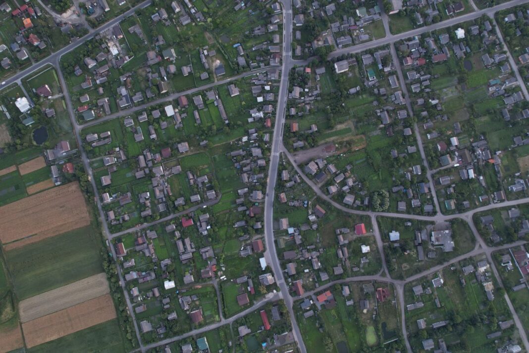
A major element of the new phase will be the development of a GIS-enabled digital ‘Land Stack’. The proposed framework will bring together land titles, mutation records, cadastral maps and land-use information in an interoperable digital system. The objective is to create a more comprehensive view of individual land parcels and make it easier for authorities and citizens to verify ownership and property-related information.
The integration of these records could also help address issues arising from fragmented land information. Ownership details, registration records, digital maps and information relating to disputes can be connected through the digital framework, allowing land-related transactions and verification processes to rely on a common set of records.
Bhu-Aadhaar To Remain A Key Component
The expansion of the 14-digit Unique Land Parcel Identification Number (ULPIN), commonly referred to as Bhu-Aadhaar, is another major component of the programme.
ULPIN assigns a unique identification number to a land parcel based on its geographic coordinates. The system is intended to provide a standardised digital identity for land parcels and can help improve the identification and verification of properties.
According to the information cited in the report, ULPIN had already been rolled out across 28 states and Union Territories, with around 23 crore land parcels assigned identification numbers as of December 2024. The system is also intended to help address fraudulent transactions and improve the traceability of land ownership.
Digitisation Of Land Records Expands
DILRMP 3.0 follows considerable progress in the computerisation of land records. Around 95 per cent of rural land records have been computerised across more than 6.26 lakh villages, while around 96 per cent of Sub-Registrar Offices have adopted computerised registration systems.
The programme is also supporting paperless property registration through the National Generic Document Registration System. The system enables processes such as online document entry, payments and appointment scheduling. It has been adopted across 18 states and Union Territories.
The next phase is expected to focus on improving interoperability between these systems rather than treating land records, registration and maps as separate datasets.
Wider Applications For Property And Infrastructure
The proposed digital land framework could have implications beyond revenue administration and property registration. Better access to verified land records could support financial institutions in assessing land-related collateral and improve access to credit for landowners.
Municipal authorities could also use more consistent property and land information for property-tax assessment. Planning agencies and infrastructure authorities could use GIS-linked land information for urban planning, infrastructure development and other data-driven decisions.
For property owners and buyers, greater integration of land records could reduce the need to visit multiple government offices to obtain or verify documents. It could also make property transactions more transparent by enabling ownership and parcel information to be checked through connected digital systems.
DILRMP 3.0 therefore marks a shift from simply digitising existing land records towards creating an integrated digital land administration system. By combining Bhu-Aadhaar, GIS-based maps, computerised registration and paperless processes, the programme seeks to establish a more connected framework for managing India’s land and property records over the 2026-2031 period.