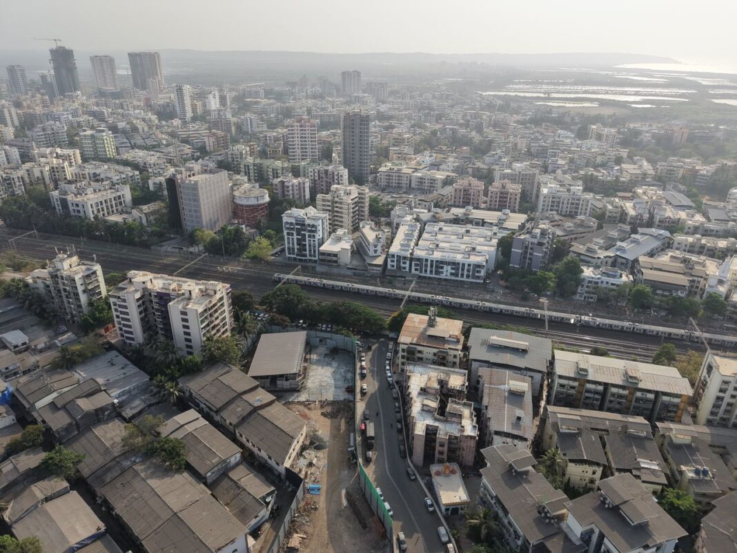
Gurugram’s urban footprint has expanded significantly over the past decade, with the city’s built-up area increasing by nearly 64%, according to a Geographic Information System (GIS)-based study conducted by the Gurugram Metropolitan Development Authority (GMDA). The findings provide a detailed assessment of the city’s growth pattern and are expected to serve as a roadmap for infrastructure planning through 2030.
The study reveals that Gurugram’s built-up area grew from 102.5 sq km in 2015 to 168.2 sq km in 2025. It projects that future urbanisation will continue along major growth corridors, including the Dwarka Expressway, Southern Peripheral Road (SPR), NH-8, Golf Course Extension Road, Sohna Road, New Gurgaon, Cyber City-Udyog Vihar and IMT Manesar. Improved transport connectivity, expanding commercial activity and planned urban development have been identified as the primary factors driving this expansion.
GMDA carried out the assessment using high-resolution satellite imagery, GIS mapping, statistical analysis and machine learning models to monitor land-use changes and forecast future urban growth. According to the authority, the mapping exercise achieved an accuracy level of over 92%, providing planners with reliable data for long-term decision-making.
GMDA Chief Executive Officer P.C. Meena said the study highlights the importance of data-driven planning as Gurugram continues to experience rapid urbanisation. He noted that scientific spatial analysis helps authorities understand growth patterns, anticipate future infrastructure requirements and make informed investment decisions. The findings will support the authority’s long-term vision of developing a well-connected, sustainable and future-ready city.
Dr. Sultan Singh, Senior Scientist and Head of GMDA’s GIS Division, said advanced geospatial technologies have enabled planners to gain a comprehensive understanding of changing land-use patterns. The study allows authorities to forecast future development with greater precision and prepare infrastructure accordingly.
The report is expected to guide the planning of key urban infrastructure, including roads, drainage networks, water supply, sewerage systems, public transport and intelligent traffic management solutions. It also highlights the need for integrated land-use planning, stronger transport connectivity, expansion of utility networks, improved stormwater management and protection of environmentally sensitive areas as the city continues to grow.
Officials stated that the GIS platform will also strengthen urban governance by enabling real-time monitoring of development, identifying emerging growth clusters and assessing infrastructure gaps. By integrating spatial information with demographic and utility data, the platform can help authorities prioritise infrastructure investments, optimise public expenditure and improve project sequencing.
Urban planning experts believe the study comes at an important stage as Gurugram witnesses sustained residential, commercial and industrial development driven by increasing corporate investments and improved regional connectivity. They noted that scientific mapping and data-based planning can help prevent unplanned growth, reduce pressure on civic infrastructure and ensure that future urban expansion is supported by adequate transportation, water supply, sewerage and environmental infrastructure.