

Architectural survey is the first step when it comes to redeveloping or renovating a building. It provides an accurate representation of the layouts, dimensions and current status of the existing building. The specialists that utilize a range of methods to measure and record existing buildings, structures, and other built environments are called Architectural surveyors. They are involved in projects that includes construction, modification, maintenance, or repair of buildings and other structures. Their duties may consist of the following:
- Completing the production of comprehensive drawings, plans, and requirements
- Carrying out investigations into the past and present development of a structure or location
- The detection and reporting of infractions of building codes and other problems that may impair a building’s occupants’ safety or ability to use the building
- Provide evidence as an expert witness in court actions pertaining to the building and construction industries
- Supervising other surveyors or technicians – Providing advice and direction on building conservation, repair, and adaptation
Indeed, architectural surveyors use different kinds of techniques in taking measurements of existing buildings, structures, and sites in order to make a record of their current dimensions, layouts, and conditions.
3D Laser Scanning
The term “3D laser scanning” refers to a technique that employs the use of a laser scanner in order to get specific information on the form and characteristics of a physical item or environment. This technique is used in land surveying to build three-dimensional representations of a piece of land that are very realistic.
These models include the area’s topography, vegetation, and any structures or features that were created by humans. The information gathered by the scanner may be put to use in a number of different ways, including the creation of comprehensive maps and drawings, as well as in a range of other applications, including land management, engineering, and building endeavors.
Movement Monitoring
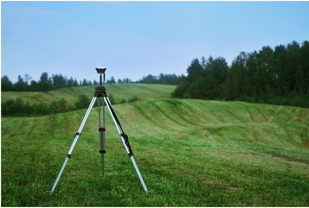
Movement monitoring surveys are a sort of land survey that are used to measure and track changes in the location, shape, or orientation of a building or structure over the course of time. These changes may occur for a variety of reasons, including natural or man-made. This type of survey typically entails the establishment of a series of monitoring points around a building or structure, followed by the measurement of the position of these points at regular intervals utilizing a variety of surveying equipment such as Total Stations, GPS, or Drones. See this link https://en.wikipedia.org/wiki/Surveying to check the list of surveying equipment.
In addition, this type of survey may also involve the collection of data from a variety of sources.
- Following the collection of data, detailed maps, drawings, and reports are then created to display the changes that have occurred to the building or structure over time.
- Monitoring the stability and safety of buildings, bridges, and other structures Identifying and monitoring the effects of subsidence, settlement, or other types of ground movement
- Monitoring the performance of construction projects and identifying potential issues before they become critical
- Monitoring the movement of landfills, mines, and other types of excavations
- Monitoring the movement of natural flora and fauna
- Monitoring the performance of construction projects and identifying potential issues before they become critical
Movement monitoring surveys are frequently utilized in conjunction with other types of surveying and monitoring techniques, such as ground-penetrating radar, borehole drilling, and geophysical surveys, in order to provide a comprehensive understanding of the movement and condition of a building or structure over the course of time.
3D Mesh Modeling
The process of constructing 3D models via the use of a network of linked triangles, commonly known as a “mesh,” is referred to as 3D mesh modeling. Triangles in a 3D mesh model are used to represent the surface of an item, and the model may be used to construct representations of things, environments, and characters that are very detailed and realistic.
Utilizing a 3D scanning device, such as a laser scanner, to capture the shape and details of an object or environment is typically the first step in the process of creating a 3D mesh model. Following this step, specialized software is used to process the data and create the 3D mesh model from the information that was gathered. After then, the model might undergo extra refining and manipulation in order to include new features, materials, and textures.
There is a broad range of businesses and applications that make use of 3D mesh models, including the following:
- The creation of movies and video games
- Design for manufacturing and consumer goods
- Design for buildings and cities
- Design for buildings and infrastructure
- Augmented and virtual reality
- Printing in three dimensions
- Medical and forensic visualization
- Archaeology and the protection of cultural heritage
In the engineering professions, 3D mesh models are also utilized for a variety of other sorts of analysis, such as stress analysis, fluid dynamics analysis, and thermal analysis.