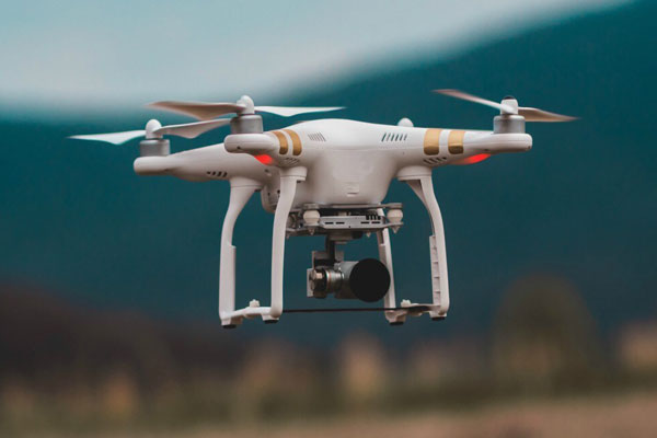
The state would complete the drone-based mapping of rural residential land parcels by March this year to fix boundaries of villages, private, government and semi-government properties, besides locations of roads and canals, Maharashtra settlement commissioner NK Sudhanshu said.
The Union government had allocated 25 drones to the Maharashtra land records department, which comes under the settlement commissioner’s office, last year for speeding up the land survey project, which was launched to create accurate land records for rural planning and reduce property disputes.
“Mapping was earlier carried out manually. However, the drone technology is now changing the way this massive exercise was undertaken,” Sudhanshu said.
Officials said the property cards for these areas would be ready by December 2024.
The project had taken off in Sonori village in Purandar tehsil in Pune district in 2018 under the Svamitva scheme to provide an integrated property validation for rural India.
While the two-year Covid period had delayed the project, 35,115 villages were covered under the scheme last year, including 31,787 villages where the drone technology was used. “Now, just 3,328 villages are remaining, which will be covered by March 2023,” said an official involved in the exercise.
As many as 4,733 property card data of these rural villages have been generated on the Mahabhumi website, the official said, adding that the estimated beneficiary count in the state was 9.9 lakh and the property cards had been generated for 7.16 lakh.
“Through this scheme, the government resolves to enable economic progress in rural India by providing a ‘record of rights’ to every rural household. This is planned to be achieved using drone and continuously operating reference station technology for capturing images,” said a central official.


