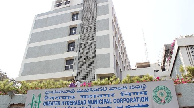
Greater Hyderabad Municipal Corporation (GHMC) has decided to roll out a GIS-based survey and map about two million properties across the city.
As part of this project, the civic body will use latest high-resolution satellite data and drones to capture boundaries of each plot and building. This will help keep a tab on those evading taxes by under-assessing their properties, officials said. Apart from properties, GHMC will use this system to also map utilities like roads, street lights, water supply network, sewerage network, hospitals, fire stations and schools for effective maintenance.
Recently, GHMC invited interested bidders to submit their technical and financial offers for implementation of the GIS-based survey and mapping. In response, two agencies have come forward. They have expressed interest to create and update the geospatial data of all properties and utilities, besides designing and developing geo-enabled mobile application, officials added.
GHMC commissioner Ronald Rose said that the objective of GIS mapping is to streamline property taxes, besides nala and road work. “Even lakes will be covered under this initiative. Implementation of GIS mapping will take up to 18 months since we need to cover each and every property within GHMC limits,” he added.
With regard to work, the agency will collect the available maps and secondary data (if any) like municipal boundary, zone boundary, town survey maps, ward boundary maps, slum related data, sanitation, and basic infrastructural facilities, and details of town planning schemes from GHMC (soft copy and hard copy) that will be be incorporated, superimposed/synchronized and corrected suitably to match current field data.
The bidder needs to conduct drone survey or satellite imagery for creation of base map for GHMC area of 650 sq km. The base map needs to contain all key physical features like boundaries of each plot/building (structure) and building identification number. Moreover, the bidder has to conduct a field survey and visit door-to-door to cover all properties in the area of interest.
The teams will contact the occupant/ owner or any other responsible person in the family and tag property data with GIS property maps using mobile/ tablet/ handheld application, officials said.This apart, the bidder will have to carry out mapping on the rectified satellite data using the digitisation process. The features that would be taken for mapping include buildings, vacant plots, bridges, railway tracks, parks, gardens, stadiums, slums, traffic squares, water bodies (river, lake, pond, drainage, canal) over head tanks.


